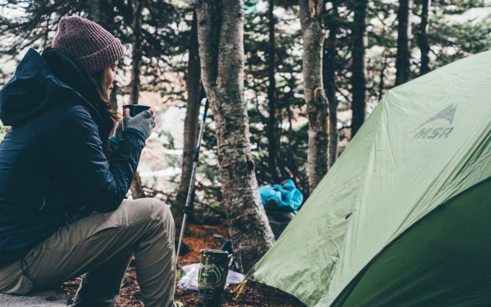
The COVID-19 pandemic has been excellent for outdoors lovers. Bars are closed. Conventions and amusement parks are widely considered bad ideas. What’s left for simple recreation is getting outside to camp, hike, backpack, and otherwise enjoy nature and all its myriad attractions.
However, many of our favorite outdoor locations have become crowded by groups who usually would have gone to Disneyland or stayed closer to home, sampling the local pubs and restaurants. This not only makes these destinations less enjoyable for a diehard outdoors lover, but it also makes them dangerous. A crowded campground can be just as hazardous as an overpopulated beach, from a disease vector standpoint.
Until there’s a vaccine, good sense and a spirit of adventure both dictate that we go to the lesser-known spots. Here are a few great ones from different parts of the country.
1. Pacific Northwest: Toad Lake Campground
This small patch of camping bliss is 12 miles west of I-5 near Mount Shasta. It’s one of the hike-in-only locations on the Pacific Crest Trail, a strong deterrent for casual campers. You can take your pick of developed sites with park benches and nearby toilets or hike the extra few miles for a back-country or primitive space. The farther you go, the more separated you’ll be from the crowds.
Its eponymous lake covers 23 acres surrounded by hilly forest. The shores vary from thick woods to rocky outcroppings to meadows. Boats are not permitted, making it great for fishing and swimming. There’s not much going on besides the beautiful, off-the-beaten-path nature, but that’s all we need. It might even be the perfect spot to bring out your Waterproof Speaker and lounge around for a bit.
Toad Lake Campground is open all year. Camping sites are first-come, first-served.
How to Get There
Turn onto exit 738 from I-5 near Mount Shasta, heading west. Follow Route 26/Barr Rd and turn off at the Toad Lake sign. Follow the winding road to the parking lot, then hike in following the marked trail.
2. Southwest: South Ruby Campground
A fishing and boating paradise located in the Ruby Valley National Wildlife Refuge, this campground is rarely close to as crowded as its location and amenities would suggest. It sits at 6,000 feet elevation around the coast of Ruby Lake in Nevada. Despite being a classic high desert location, its lake and marshlands attract stopover species from all around, making it one of the best bird and wildlife watching locations in the area.
The campground is located among pinyon pine and juniper, offering a shady place to pitch your tent in one of 35 sites, including one double spot and one wheelchair-accessible site. All sites have picnic tables and campfire rings, with vault toilets and running water available nearby. Besides being out of the way, the campground’s structure runs screens of trees between sites, making social distancing (and privacy) easy.
Unlike many of the out-of-the-way camping opportunities on this list, South Ruby allows boating, ATV riding, and off-road vehicles.
South Ruby Campground is open May through September, with exact dates announced one year ahead of time. You can book sites up to six months in advance.
How to Get There
Turn south off I-80 onto Route 227 near Elko. Turn right onto Route 228 and follow it past Jiggs. As the highway begins to turn north in a wide dogleg, turn right onto Ruby Valley Road and take it to the campground. If 228 turns into 767, you’ve gone too far.
3. Southeast: Linville Gorge
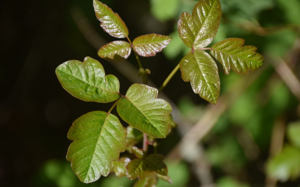
“The Grand Canyon of the East” is a rugged river valley in Burke County, North Carolina. The land is so steep and rough it was never harvested for timber, leaving much of it as pristine, old-growth forest rare on that side of the Mississippi River. The designated National Wilderness Area covers 12,000 acres deep forest, offering multiple rare plant species and excellent wildlife and bird viewing opportunities. The Linville River cuts a meandering path through granite walls, creating stunning falls, steep gorges, and multiple deep coves for swimming and fishing.
Trails here are not well-maintained or even clearly marked, but they offer unique, spectacular vistas to experienced hikers. Camping (with permits) is available both in established, primitive campsites and simple backwoods spaces. Motor travel is not permitted, and cellular reception is spotty. This is wilderness camping, so come prepared.
The Linville Gorge wilderness is open year-round.
How to Get There
You can access this large patch of wilderness from multiple locations, including simple roadside trailheads and a few logging roads kept open during the summer months. Aim your GPS for Spruce Pine, North Carolina. or Lenoir, North Carolina, and set off from there. Local guides can tell you what’s best and what’s least crowded at any particular time.

4. Great Plains: Wichita Mountains Wildlife Refuge
Another sizable protected area, Wichita Mountain Wilderness contains Fawn Creek Campgrounds and Doris Campground. It covers more than 59,000 acres of scrubland containing rough hills, plains, and waterways. It’s one of the oldest national wildlife refuges in the United States and home to roaming herds of bison and longhorns. Locals and road trippers visit for camping near the Visitor’s Center, but the hiking trails and boating opportunities go deep into the Refuge.
Camping opportunities are more strictly regimented here than in many other areas. Doris Campground offers hookups for RVs and pop-up tent vehicles (tents are currently prohibited). Fawn Creek Campground is reserved for organized youth groups. Everybody else is invited to enjoy backcountry camping, which is likely what you wanted anyway if you’re reading this article. All three options are by permit only, available up to three months in advance.
Wichita Mountains Wildlife Refuge is open all year, though some facilities shut down or curtail operations during winter.
How to Get There
Drive west out of Lawton on Highway 62. At Cache, turn right onto 115 and enter the area Refuge near Doris Campground. For faster access to the Visitor’s Center, continue on 62 and turn right on Route 54. Turn right onto Hwy 49, which leads you straight into the Refuge and to the Visitor’s Center.
5. New England: Cutler Coast
This area is also known as the Bold Coast, and it offers some of the most extended tracts of undeveloped coastline along the East Coast. Activity here is centered on trail hiking, including the famed Caribou Loop and Black Point Brook Loop. You can access most camping by car, but some of the best views, hiking, and wildlife viewing are only available to those willing to reach them on foot (or by paddling).
The entire area is dotted with primitive camping opportunities, all first-come, first-served. The main areas include Fairy Beach, Machias River Corridor, Donnell Pond, and Stave Island. Bear in mind that hiking is often strenuous and consists of some hazardous conditions. This getaway is not recommended for families with small children or novice hikers, making it an excellent choice for experienced outdoors lovers looking to avoid crowds during the COVID-19 pandemic.
Cutler Coast is open year-round, but the hazards increase and the foliage decreases as soon as the snow starts to fall.
How to Get There
Follow 191 northeast out of Cutler (accessible via 191 by driving south, then east out of East Machias). You’ll find multiple turn-offs and opportunities on your right as you go.

Final Thoughts
Visiting these out-of-the-way spaces is no guarantee you’ll be alone or at no risk of COVID-19 exposure. Be sure to include hand sanitizer, face masks, medical gloves, and similar items in your packing kit. For the time being, they’re as important as your cooking supplies and first aid gear.
John Bradley lives with his family of six in Oregon. They hiked and completed a big trip across the country in an RV during COVID-19.